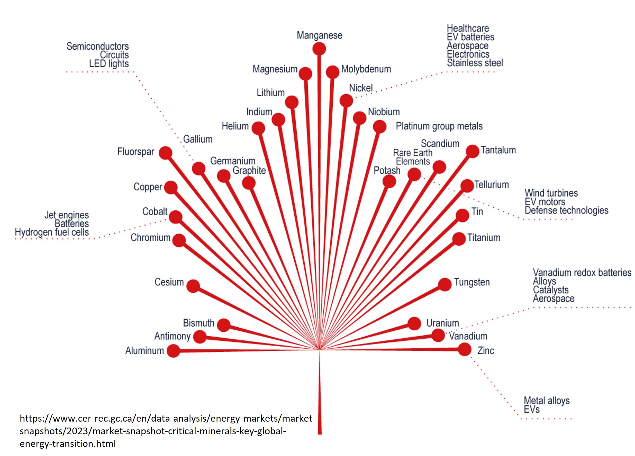
Last year on Geology for Investors, we highlighted several interesting mining projects:
- An ethical cobalt project in the U.S.
- The world’s largest uranium mine
- Gold deposits in Brazil and Canada
- Sustainable potash mining
- World-class ore deposits in South Africa, Canada, and Slovakia
- Gemstones deposits in Tanzania and Zambia
As fascinating as it is, geology is only one part of the equation when it comes to opening a mine. Below is a roadmap to mining, from staking a claim to the final product. These are our best resources–what every investor needs to know about the lifecycle of a mining project.
Staking Your Claim
The first step for any exploration company, once an area is selected, is to stake a claim. Traditionally, this required the literal hammering in of stakes around the area of land claimed. Now, some jurisdictions operate an online system for registering claims, but many still require manual staking. Some areas may require contact with local or national governments in order to obtain mineral rights. In some case landowners may hold mineral rights and direct negotiation is required. Regardless, obtaining the mineral rights to a property is essential before any exploration expenses are incurred.
Read more about staking a claim:
Finding Your Exploration Target
Once a company is allowed to conduct work on the property, their first goal is to find prospective ‘targets’ of mineralization. The preliminary work on a property can take many different forms. This often depends on the size and budget of the company involved, as well, what, if any, geology data is available.
Read more about finding an exploration target:
- Age Matters: Exploration and the Dating of Rocks
- Plate Tectonics – Mineralization and Plate Boundaries
- Location, Location, Location
- Undersea Mining
Geophysical Methods
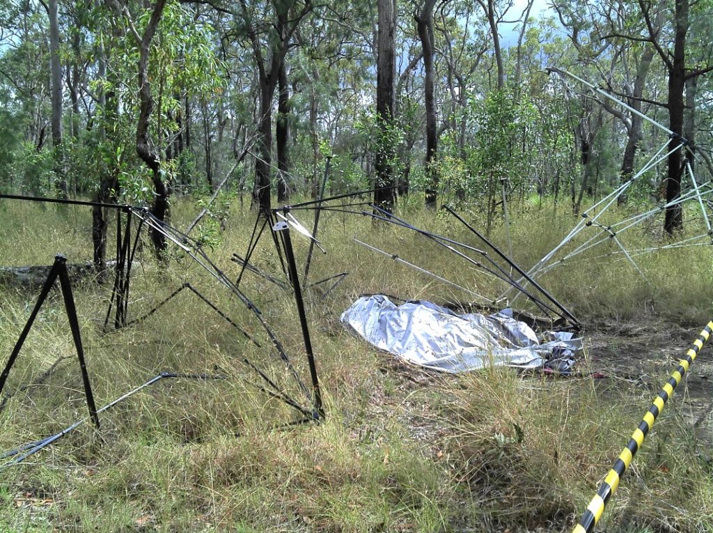
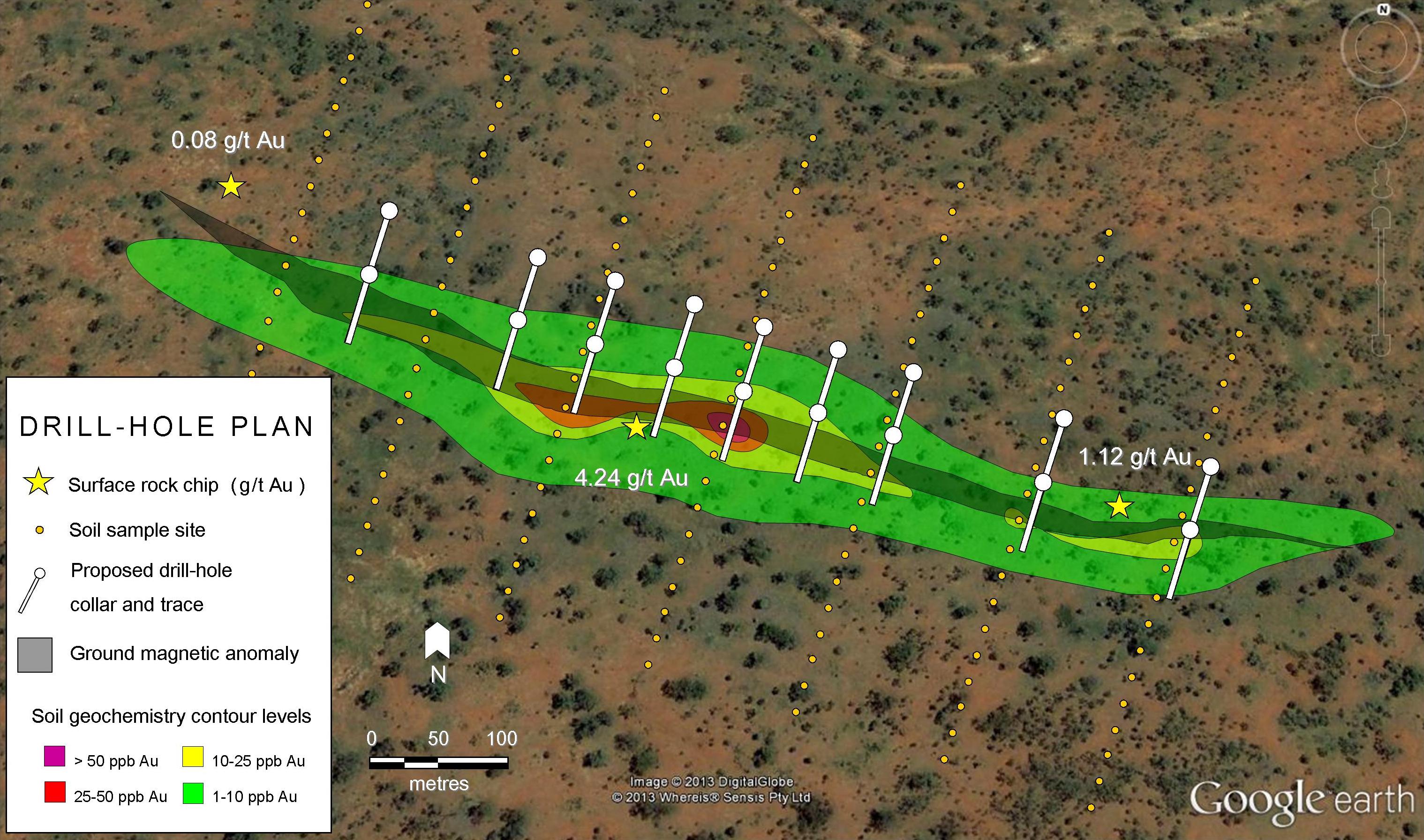
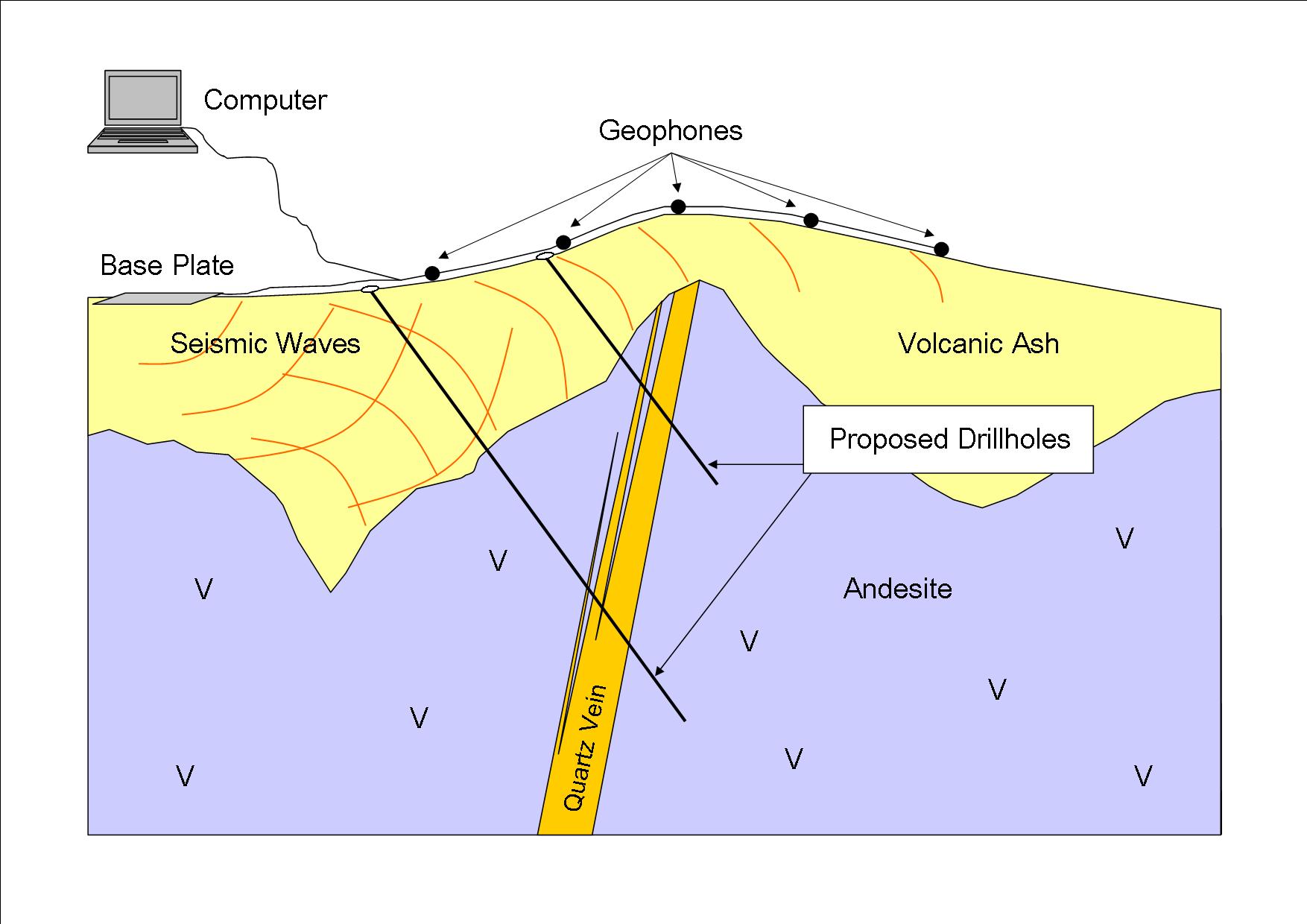
A variety of geophysical methods are used in exploration, including seismic, gravity, magnetic, electrical and electromagnetic techniques. Geophysical surveys conducted by flying over an area (airborne geophysics) are by far the most common in the early stages of exploration. This is because they typically cover a much larger area and therefore have a higher probability of finding prospective targets.
Airborne surveys include magnetometers that measure magnetic anomalies in Earth’s magnetic field (metal exploration) and Geiger counters that determine the amount of radioactivity (uranium exploration). In the later stages of exploration, ground-based surveys may be used to investigate smaller areas. An example of a ground-based geophysical survey is electromagnetic geophysics. This technique detects materials that are more conductive than the surround rock, e.g. metals, at much more detail than an airborne survey.
Read more about geophysical exploration methods:
- Ground Magnetics
- Seismic Surveys for Exploration
- Gravity Surveys
- Downhole Geophysics in Mineral Exploration
- Adapting Petroleum Geophysics for Mineral Exploration
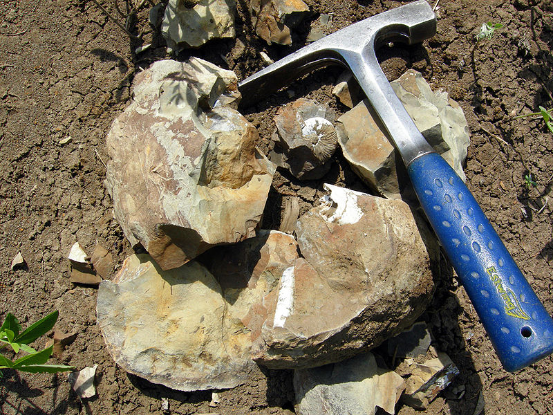
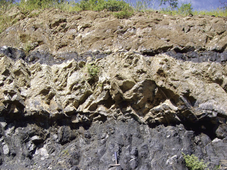
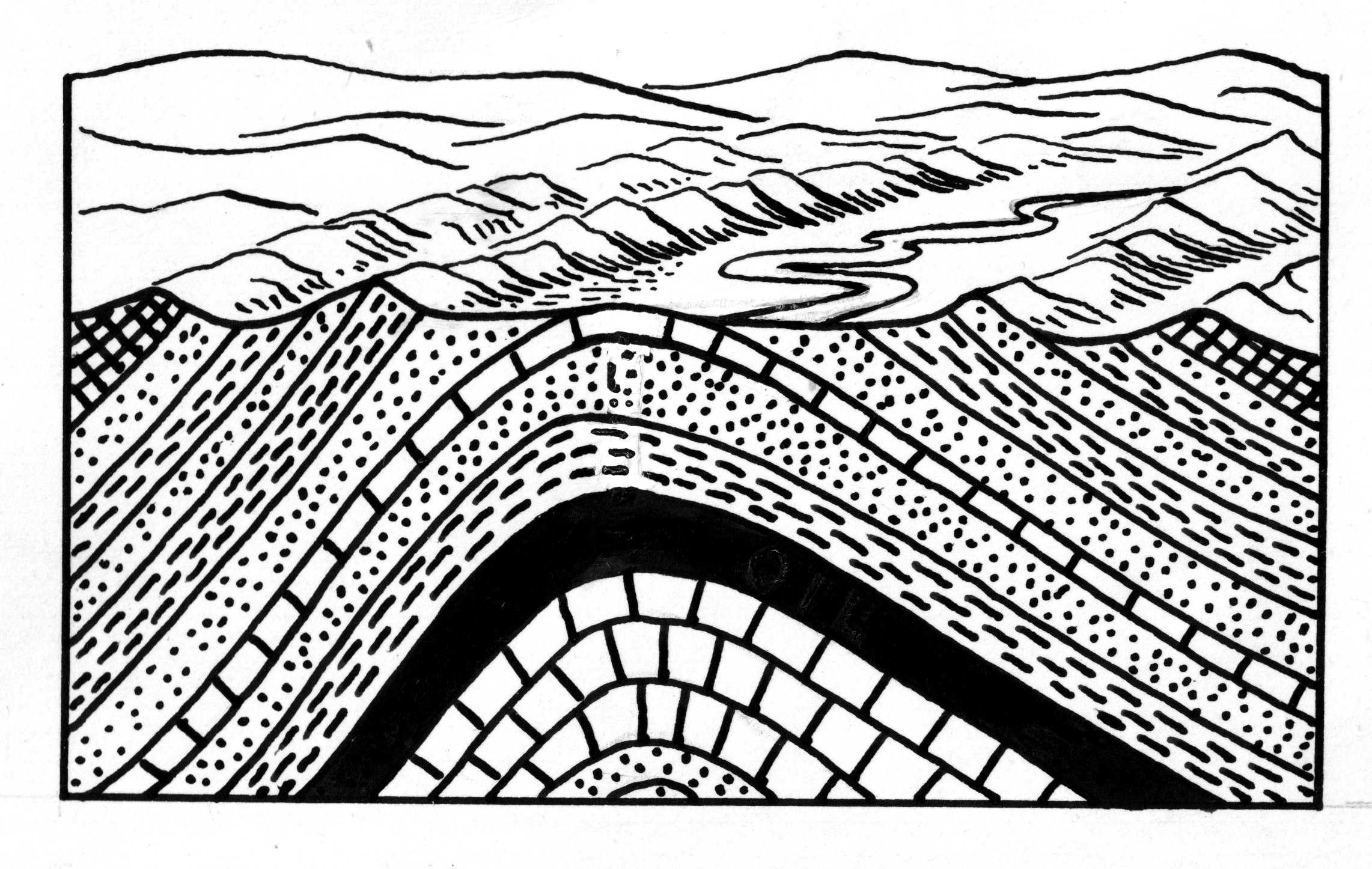
Geologic Mapping
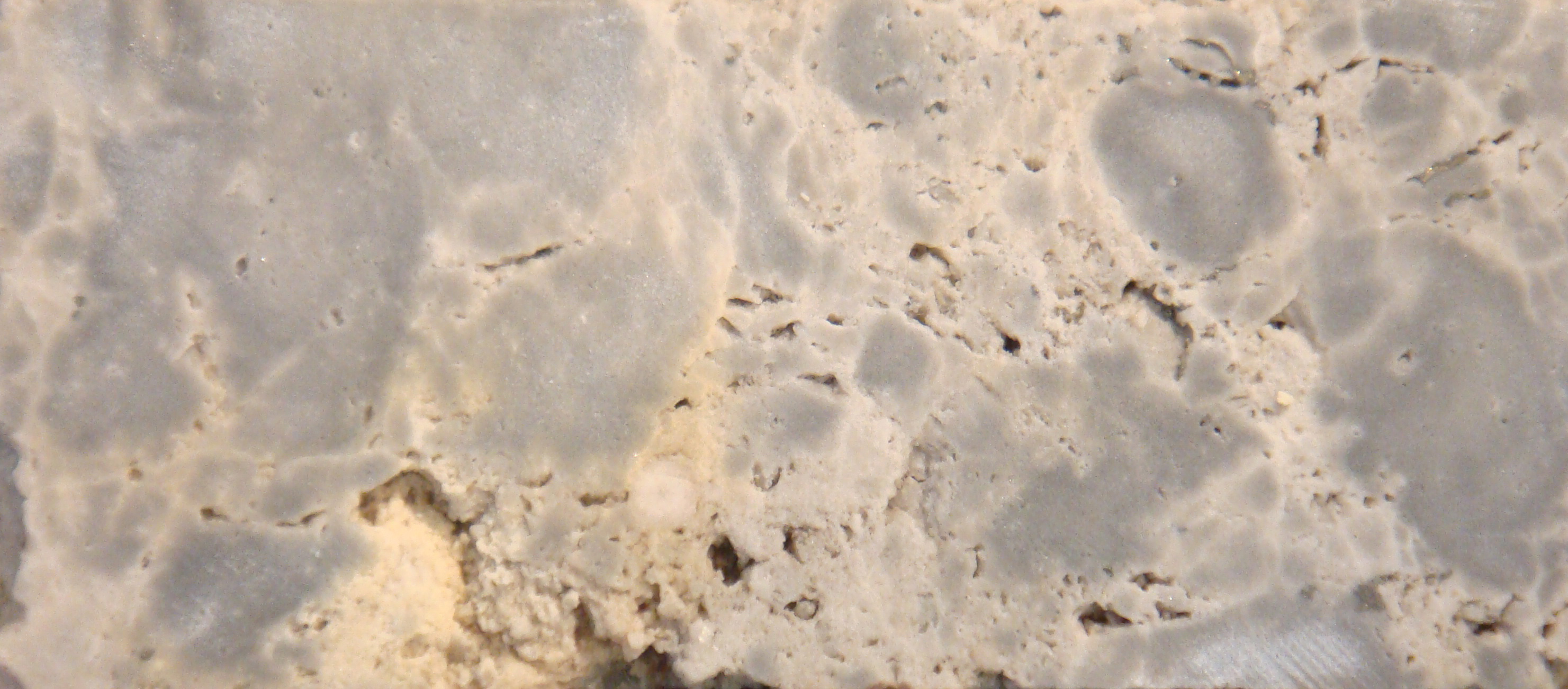
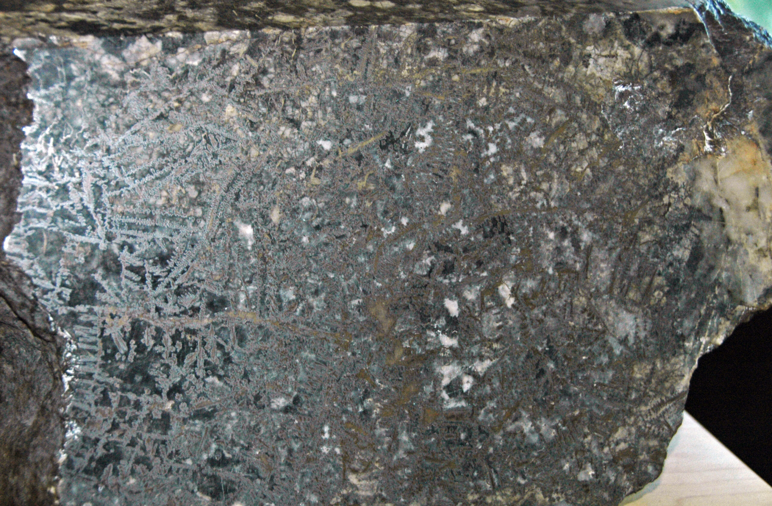
During geologic mapping, a geologist will systematically map an area looking for rock outcrops. The geologist will analyze each outcrop recording data including rock type and structural geology as well as taking samples for geochemical analysis.
A geology mapping program may be conducted at the same time as a soil sampling program. More detailed mapping of smaller areas, i.e. individual outcrops or a few hundreds of meters square may be undertaken if an area of interest is found.
Read more about geologic mapping and field work:
- Geology Field Work
- Landowner Liaison
- Identifying Igneous Rocks in the Field
- Identifying Metamorphic Rocks
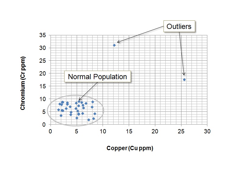
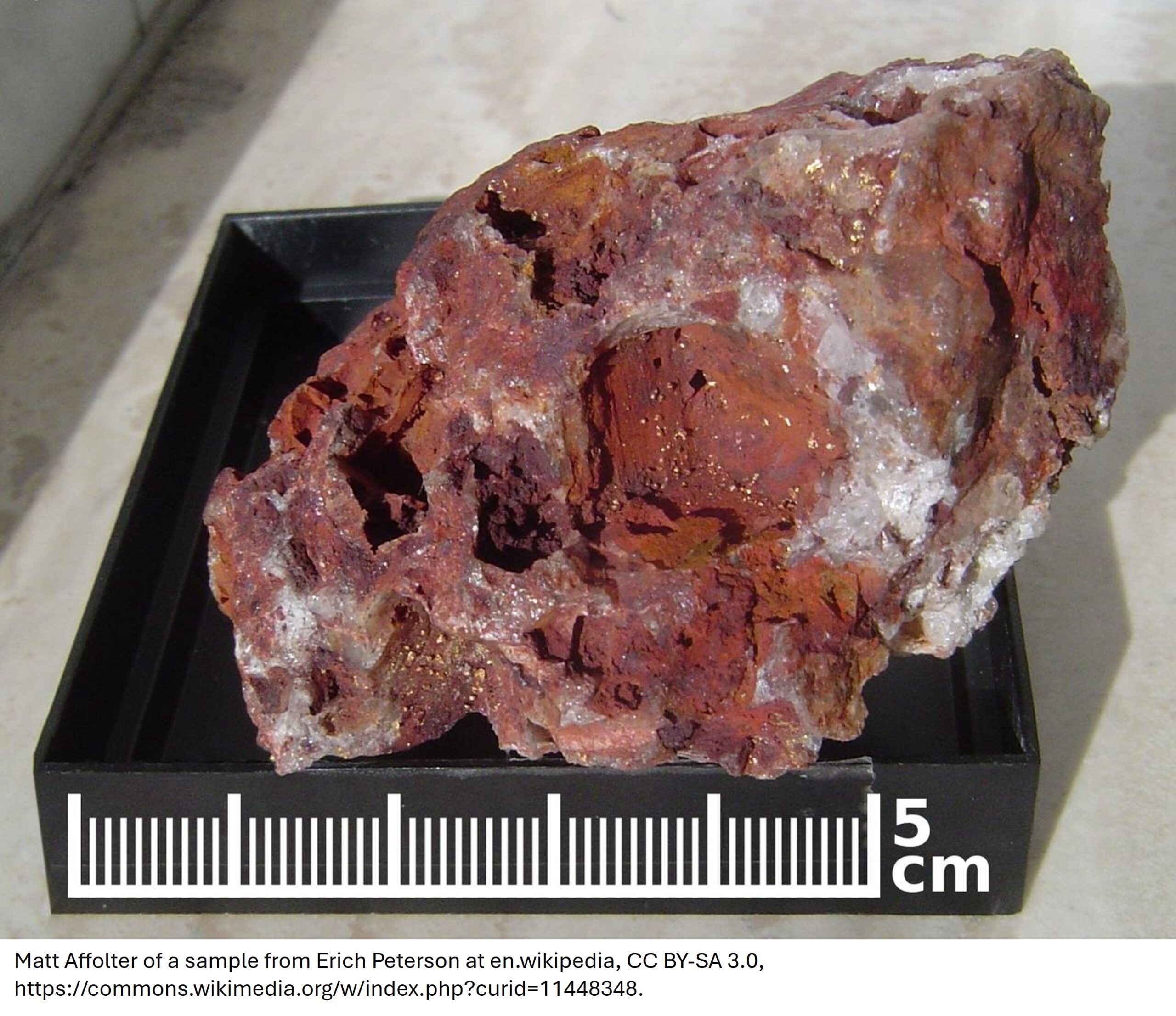
Geochemical Methods
Geochemical analysis is important in most exploration programs. Sampling aims to discover either anomalies the commodity of interest directly e.g. gold, or elements that are known to be associated with that commodity e.g. arsenic is often associated with gold. A program of any or all of soil, rock chip and stream sediment sampling may be undertaken. Soil and stream sediment sampling is particularly useful in areas where there are a few outcrops of the underlying rocks.
Read more about geochemical methods:
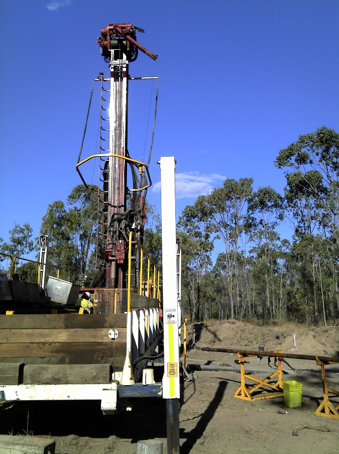
Drilling The Target
Once a prospective target has been identified, the next step is to better define the size of the mineralization. Drill programs are the best way to do this.
The first stage of drilling is to assist in the further definition of an exploration target. Drilling not only confirms and extends the understanding of the geology of the deposit, it also allows a sampling program which establishes the grade of the resource. The ultimate goal of a drilling program is for resource evaluation, i.e. quantifying the grade and tonnage of the mineral occurrence. A successful drilling program is the first step towards the confirmation of an economic ore reserve.
Read more about exploration drilling:
- Why Drilling in Mines is Essential
- Drillhole Planning
- Diamond Drilling
- Drillhole Targets: Apparent vs. Real
- Reverse Circulation Drilling
- Interpreting Drill Results: Drill Highlight Calculator
- A Critical Look at Interpreting Drill Results
Feasibility Studies
Determining the economics of a potential ore reserve definition involves far more than the size and grade of the resource. A feasibility study must also consider many other aspects including:
- mining techniques
- logistics of getting the resource to markets, and getting staff to site
- metallurgical requirements to process the ore
- likely future demand for the commodity which may affect its price
- staff availability and housing issues
- legal issues
- environmental issues and cost
- governmental factors including legislative risk and governmental stability in some countries
Deciding if a given deposit is economic is a complex decision with many variable factors involved.
Read more about reserve definition:
- What is Cutoff Grade?
- Classification of Resources
- Drilling Methods in Coal Mines
- NI 43-101: An Overview for Investors
- Decoding the JORC Code: An Overview for Investors
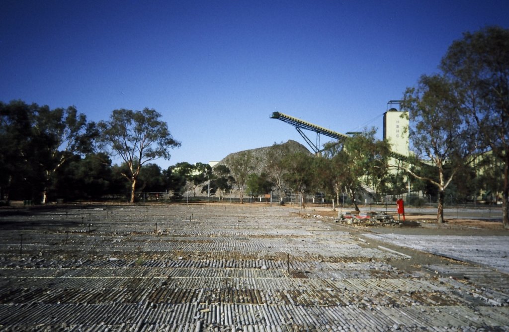
Opening A Mine
Ultimately, the process of opening a new mine can take years. A deposit that may seem economical at first can prove to be uneconomical due to any number of the factors mentioned. To evaluate, this one of three formal mining feasibility studies (order of magnitude, pre-feasibility and detailed feasibility) is carried out. These studies determine whether the commodity can be mined economically or not. If the site is still economically viable after the detailed feasibility study, the company will begin the process of generating a mine site.
Read more about the difficulties of developing and operating a mine:
- Pre-Feasibility and Feasibility Studies
- Mining hazards – Often Mundane, Often Preventable
- Mining Production Delays
- Mining At Altitude in South America
- Mining Volcanoes
What’s Next?
Once a mine has opened, it’s time to extract the ore. Mining techniques can be divided into two broad categories: surface mining and subsurface mining. Surface mining consists of stripping rock, soil and vegetation away and removing ore in large quantities. Conversely, subsurface mining involves sinking a mineshaft and digging tunnels to reach a deposit at depth. Surface mining is more cost effective than subsurface mining.
After the ore is extracted, it’s processed, refined, and turned into the materials we use every day: building materials, jewelry, batteries, cosmetics, and so much more.
Read more about mining methods and mineral processing:
Subscribe for Email Updates