Introduction
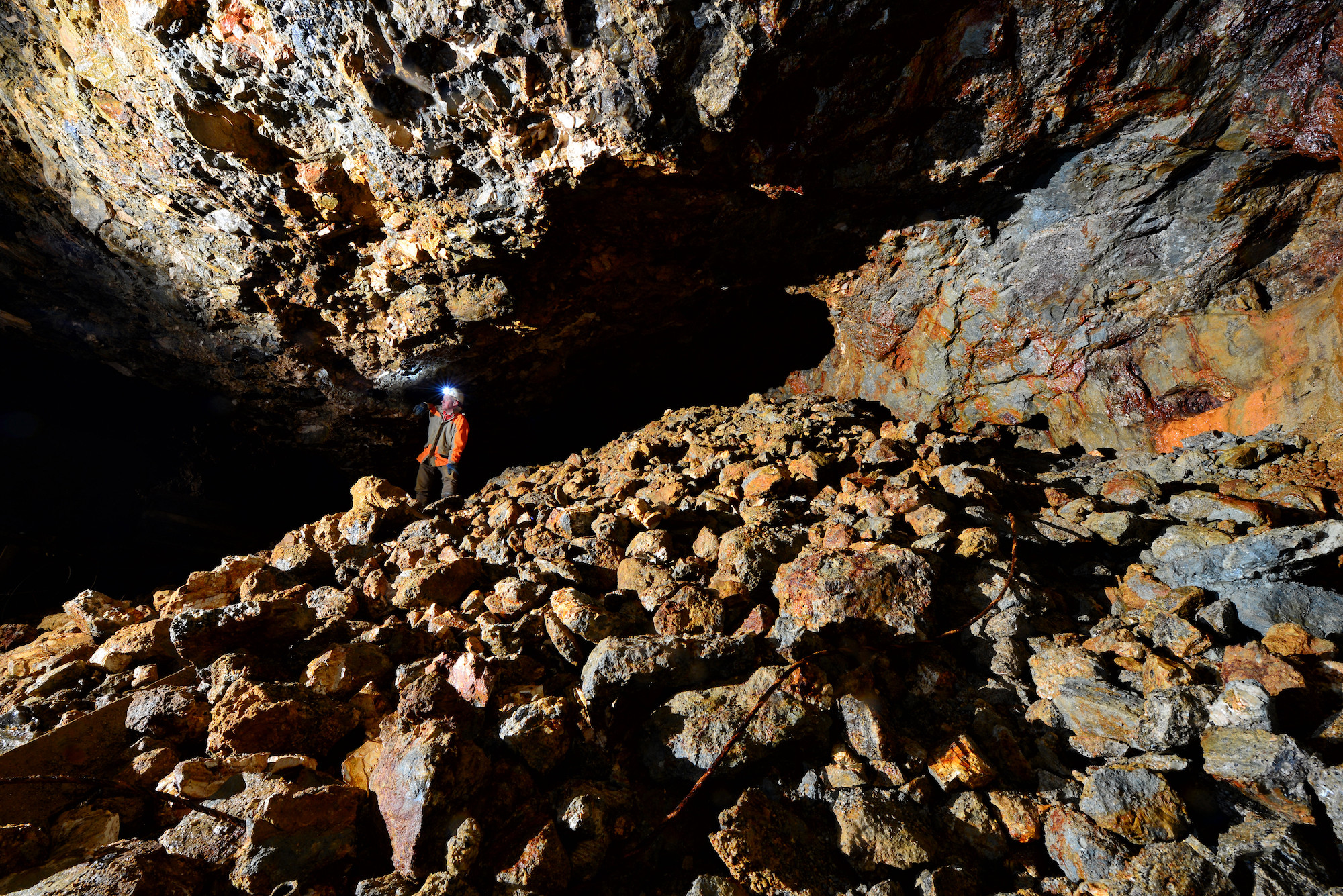
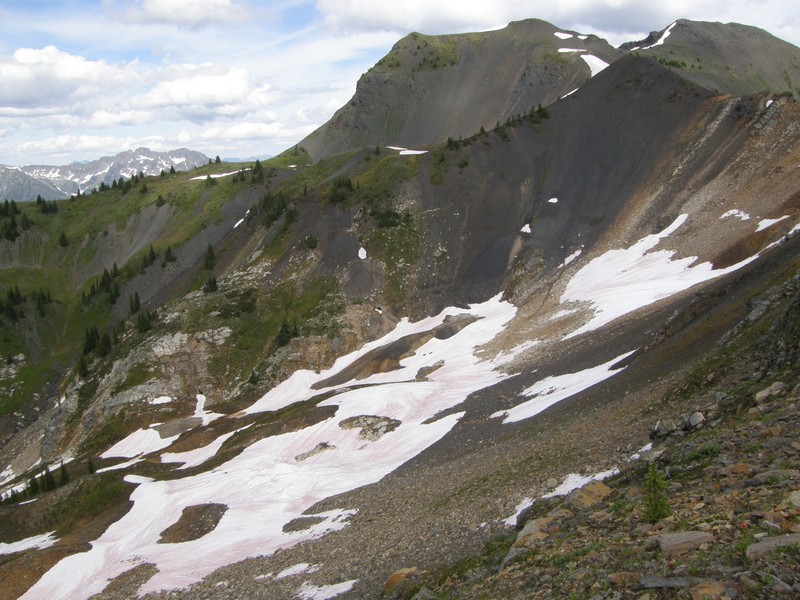
There is a thing about old mining camps. A certain resonance in the atmosphere. It comes from the hundreds or thousands that once toiled, in dark, dirty and dangerous conditions searching for fortune and fame. Perhaps it’s the psychic energy of a million broken dreams or the electric shock when just 10 feet more breaks into a whole new vein or the whack of a hammer reveals a boulder of pure silver. Sandon, in the heart of what was known as the “Silvery Slocan” is one such place. Boulders of solid galena (lead sulfide) fell from the mountains, spawning the wildest city in BC, Canada and the beating heart of British Columbia’s last great mining rush. So confident in their future that they boxed up the creek and put their main street on it, 100 years later it’s piles of rotting timber beside a very free running Carpenter creek. It’s easy to imagine that the mines are as dead as those long ago ghosts.
Great mines rarely stay dead though. They merely lie dormant waiting for the next economic cycle. At Sandon, production from the mines has occurred every decade since the 1890’s and there is still new ground to be developed. One such deposit known as the Silvana produced 242 tons of silver (with lead and zinc credits) from 1913 to 1993 at grades varying from 300 to 550 g/t silver (~10 to 15 oz per tonne).
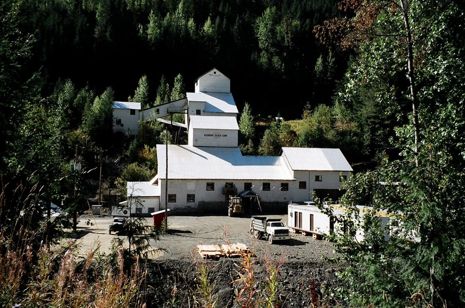
Over the years Klondike Silver Corp (TSX-V:KS) has been slowly assembling all the old claims and crown grants into a large land package. Their ground covers 68 of the 173 past producing area mines which collectively produced 40.4 million ounces of silver. They also own the old Silvana mill which is currently on care and maintenance.
Geology
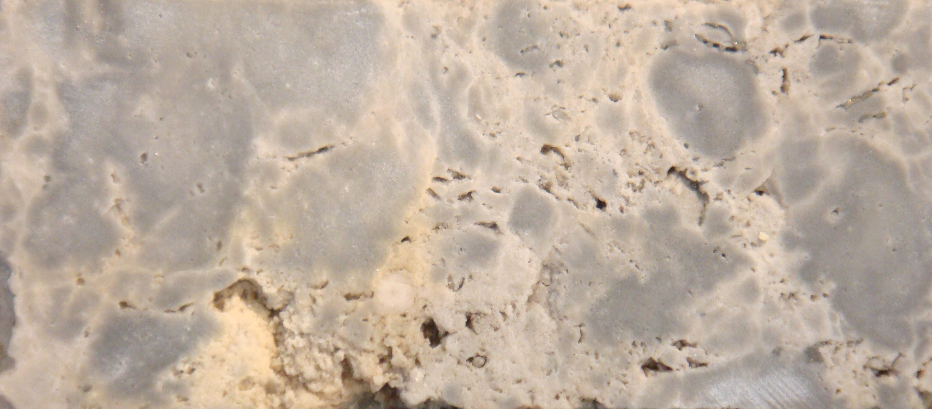
The geology of the area is enormously complex, as it marks the point where North America ends and accreted terranes begin. Hence, there is a chaotic melange of rocks from a very diverse origins which have been welded together, by repeated, intense deformation and intruded by the large, regional scale Nelson Batholith. The rocks hosting the deposits are known as the Slocan group and are group of sedimentary rocks (argillite, limestone, slate and quartzites) which date to 180 million years ago, or right before the start of the Cordilleran Orogeny. These rocks were well suited, for mineralization as their different rock properties allowed numerous different styles of deformation, as each suite of rocks reacted to the deformation and heat differently. Some buckled, and broke, others flowed like honey, while others dissolved. These differences created physical conduits and chemical traps for the fluids from the Nelson batholith, which created the high grade silver – lead – zinc veins and replacements
The mineralization is similar to the famous Coure D’ Alene camp in Idaho with siderite and calcite breccias and veins hosting a galena-sphalerite (lead-zinc sulfide) dominant ore mineralization. In amongst these two dominant minerals are host of others; chalcopyrite, tetrahedrite, native silver, and pyrargyrite and less commonly stephanite, argentopyrite and acanthite. Alteration is measured metres from the vein, and consists of smaller carbonate veins (stringers) or silicification and pyritization of the wall rock. This lack of large scale alteration makes understanding the subsidiary structures which host the veins critical.
This deformation and intrusion created the veins, but then proceeded to brecciate (break up), shear, fault, and re-mobilize these veins in a manner guaranteed to make an old timer toss his pick in frustration. To make the complexity manageable past miners tried to compartmentalize their approach, focusing only on the immediately mineable sequence or conduit. This worked well enough at the time, but modern computing and a better understanding of the geology has given exploration geologists the tools to help manage the complexity and large volumes of data required to develop a better working exploration model. Or at least that’s the idea.
Discussion
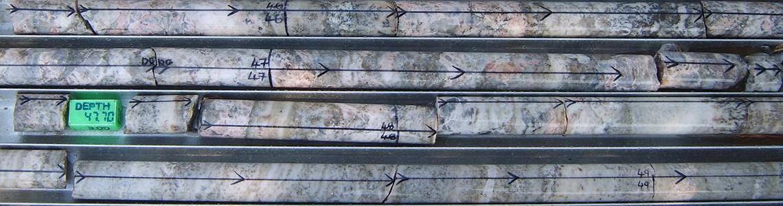
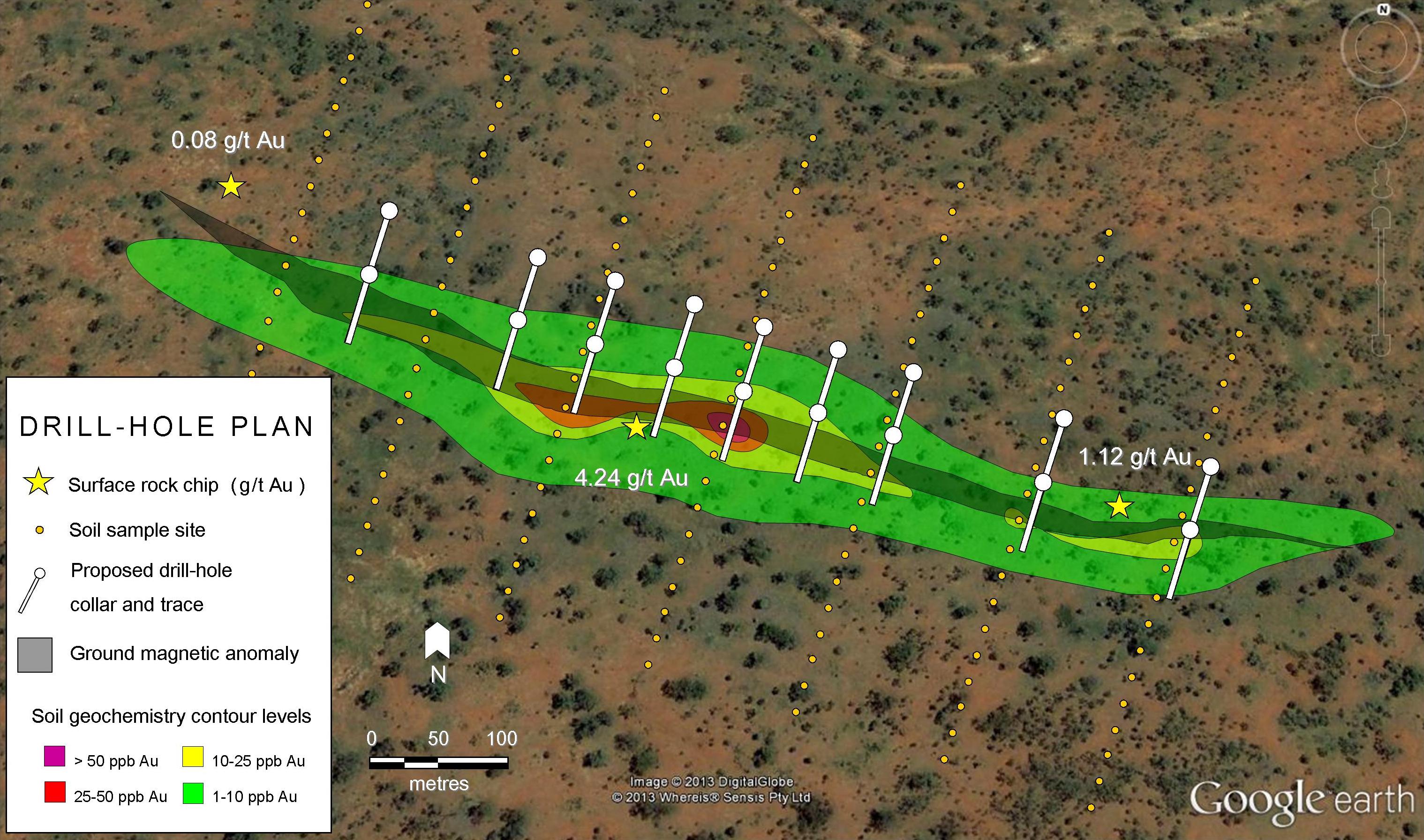
The brings us back to Klondike. They are using a district scale exploration approach to try and map out a connection between the deposits. This large scale approach will hopefully give them a more thorough understanding of the controls and signs of prospective mineralization. Right now they are focused on what they describe as the “main lode” or the controlling structure for a series of the richest deposits in the region including the Silvana described above. This “main lode” also includes a 1.5 kilometer section that has been mostly ignored in previous exploration efforts. Their current plan is to better define the resources on known deposits by creating a 3D model of the camp (the first in the 100+ years of history), then to use this model to guide exploration and find potential drill targets.
There’s a lot of work to be done here and one can only imagine the painful process of sifting through the historical data required to build a working geological model. If they can model a connection between the 100+ past mines and find some sizeable gaps they might have something.
The ghosts of the Silvery Slocan look down with interest.