An airborne magnetic survey will help the company identify structural features on the property that may have been conduits for hydrothermal activity and gold deposition.
[box type=”info” align=”aligncenter” ]Disclaimer: This is an editorial review of a public press release and not an endorsement. It may include opinions or points of view that may not be shared by the companies mentioned in the release. The editorial comments are highlighted so as to be easily separated from the release text and portions of the release not affecting this review may be deleted. [/box]
MONTREAL, QUEBEC–(Marketwired – Feb. 5, 2014) – TOMAGOLD CORPORATION (TSX VENTURE:LOT) (“TomaGold” or the “Company”) is pleased to announce the start of work on the Monster Lake property, 50 km southwest of Chibougamau, Quebec, pursuant to an agreement that calls for IAMGOLD Corporation to spend at least $2 million on exploration on the Monster Lake property in Year 1.
[box type=”note” align=”aligncenter” ]
Back in November, and after a few years of promising drill results on it’s Monster Lake property, TomaGold announced a $17+ Million deal with mid-sized producer IAMGOLD that will see them earn 50% of the project in 5 years if they meet certain exploration spending cash payment requirements. This follows a few successful seasons of drilling on the property and expansion of the project area through the acquisition of neighbouring properties. In 2012 the company reported a whopping 237.6 g/t of gold over 5.7 metres in the Annie Zone. In 2013 they reported significant grades in the 325 zone which they have included below.
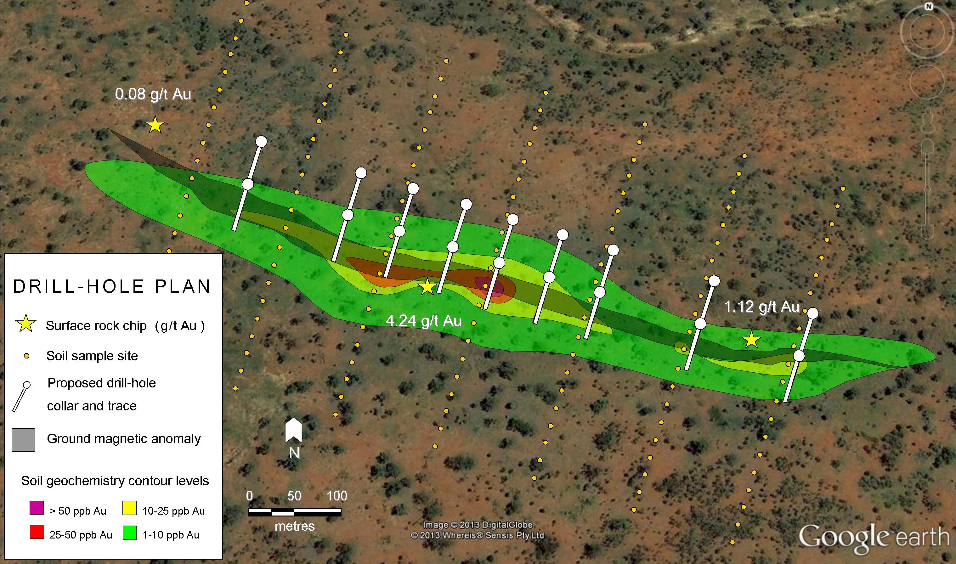
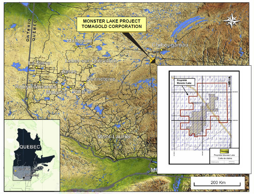
The project is in western Quebec with good access to roads and infrastructure. We have included a map location map below.
[/box]
The first phase of work, which begins this week, consists of a high-resolution magnetic survey, to be followed by an initial program of at least 6,000 metres of drilling.
The high resolution airborne magnetic survey will be flown over lines spaced at 75 metres, at an average altitude of 45 metres. This high resolution survey will be the first one to be completed on the entire properties and could reveal structural elements that play a key role in gold mineralization. The survey will cover the Monster Lake, Winchester and Lac-à-l’Eau-Jaune properties, which are all part of the joint venture agreement signed in November 2013. TomaGold will also fund part of the survey to cover the Little Monster and Cookie Monster properties acquired in 2013, which lie just east of Monster Lake. A total of about 2,050 line-km will need to be flown.
[box type=”note” align=”aligncenter” ]
An airborne magnetic survey will help the company identify structural features on the property that may have been conduits for hydrothermal activity and gold deposition. In addition, a magnetic survey may help the company identify massive sulfide mineralization in the area. The presence of trace chalcopyrite (iron-copper sulfide), sphalerite (zinc sulfide) and pyrrhotite (weakly magnetic iron sulfide) indicate the possibility of gold-bearing volcanogenic massive sulfides (VMS).
[/box]
A concurrent initial drilling program of at least 6,000 metres of drilling will begin in the second half of February 2014 in the areas of the 325 and Mégane zones. The 325 zone returned excellent results from drilling by TomaGold in 2010, 2011 and particularly winter 2013, as shown in the following table:
| Hole (#) |
From (m) |
To (m) |
g/t Au | Length (m) |
Depth (m) |
|
| Section 1100 E | ||||||
| M-25-11 | 49.50 | 54.00 | 101.2 | 4.50 | 40 | |
| Section 1150 E | ||||||
| M-24-11 | 60.00 | 61.00 | 9.60 | 1.00 | 45 | |
| 993-95-50 | 84.60 | 85.75 | 5.04 | 1.15 | 60 | |
| Section 1200 E | ||||||
| M-10-18 | 80.00 | 83.00 | 6.70 | 3.00 | 63 | |
| M-38-11 | 96.00 | 99.00 | 7.20 | 3.00 | 80 | |
| M-43-11 | 131.00 | 132.00 | 11.1 | 1.00 | 102 | |
| M-13-99 | 217.00 | 223.00 | 32.6 | 6.00 | 170 | |
| M-13-101 | 281.50 | 285.00 | 48.9 | 3.50 | 275 | |
| Section 1225 E | ||||||
| M-13-106 | 256.20 | 261.00 | 37.1 | 4.80 | 235 | |
| M-13-107 | 266.85 | 269.60 | 4.53 | 2.75 | 245 | |
| Section 1250 E | ||||||
| M-37-11 | 103.00 | 105.00 | 19.4 | 2.00 | 87 | |
| M-44-11 | 125.00 | 127.00 | 8.40 | 2.00 | 97 | |
| M-13-94 | 226.50 | 231.80 | 11.5 | 5.30 | 187 | |
| M-13-93 | 244.35 | 250.20 | 33.6 | 5.85 | 217 | |
| M-13-95 | 288.40 | 295.60 | 42.0 | 7.20 | 278 | |
| M-13-102 | 370.00 | 372.55 | 7.30 | 2.55 | 330 | |
| Section 1300 E | ||||||
| M-13-98 | 274.60 | 280.30 | 26.0 | 5.70 | 280 | |
| Section 1365 E | ||||||
| M-13-105 | 355.90 | 367.20 | 8.65 | 11.30 | 325 | |
“We are very pleased to announce the start of this work,” said David Grondin, President and CEO of TomaGold. “The drilling program targets zones that have already returned excellent results. We feel that IAMGOLD’s help and the work to be done over the next few months will lead to a better understanding of the gold potential of our properties.”
Note that the drill core intersects the sheared tuff unit hosting the gold-bearing quartz vein at an angle of 40-50°, meaning that the intersected width is not necessarily the true width of the zone. Based on observations on surface from recent trenching and old SOQUEM and Stellar Pacific Ventures drillholes, the Company estimates the true width at 70-85% of the core length.
[box type=”note” align=”aligncenter” ]
They refer to the host rock as a “sheared tuff”. Tuff is a rock whose source is volcanic ash. The gold-bearing quartz vein was emplaced along a plane of weakness in the rock caused by tectonic stresses.
Note that the widths reported are not true widths. You can read more about proper QA/QC and widths reported in drill results.
[/box]
André Jean, Ing., Geo., a qualified person under National Instrument 43-101, has reviewed and approved the technical content of this press release.
About TomaGold Corporation
TomaGold Corporation is a Canadian-based mining exploration company whose primary mission is the acquisition, exploration and development of gold projects in Canada and abroad.
[box type=”success” align=”aligncenter” ]Have a company or release you’d like us to look at? Let us know though our contact page, through Google+, Twitter or Facebook.[/box]