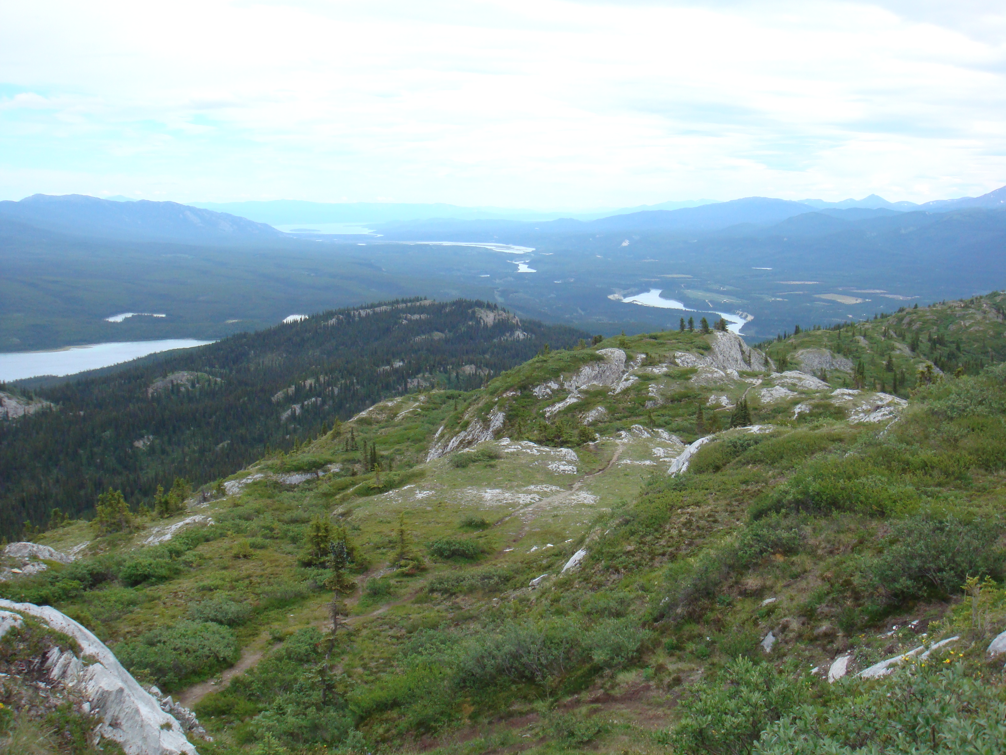
Most geologists are happiest when they are furthest away from the office, the phone, and management. Fieldwork, although essential for any exploration program, is also expensive, and potentially dangerous. So what are the questions that should be asked before an expedition is mounted, particularly into a remote area?
Once a number of prospects have been identified by the desktop review, it’s time to plan follow-up field work.
Planning and Logistics
What is the reason for going into the field? This is a question that every geologist should ask themselves before venturing out into the wilderness. Sure, going into the field is full of fun and adventure, but a great deal of time and money can be wasted too. The first step of geological reconnaissance happens back in the office, studying old company reports and online databases. Data may include old drill-hole, rock chip, stream sediment and soil geochemistry results as well as geophysical information. There is no point in “reinventing the wheel”, as they say. Though it’s worth remembering that until GPS’s started to be used in the field in the 1990’s, locations can not always be relied on.
The purpose of the desktop study is to gather as much information about an area as possible. One of the best ways to do this is using a geographic information system (GIS) software package. This is because the different types of data including geological, geochemical and geophysical can be viewed on a single digital map. A GIS display makes trends and gaps in the data more apparent. Often the gaps are significant, as this is where data is lacking and exploration should be focussed.
Once a number of prospects have been identified by the desktop review it’s time to plan follow-up field work.
Equipment
Even for geologists, the tools of trade have gone high tech. Probably the most important piece of technology for the modern field geologist is the hand-held GPS. No longer is there a real risk that samples and observations will be misrecorded on a map or aerial photo.
A tough portable computer, either a notebook or a tablet, is used to transfer data and is backed up regularly onto an external hard-drive. If there is an Internet connection available, an off-site backup should be made too.
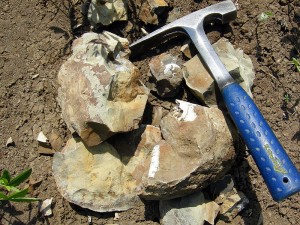
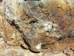
Some items of field equipment haven’t changed though. The geologist’s pick is still essential for breaking rocks apart for inspecting freshly exposed surfaces. The outside surface of rocks is usually covered in dirt and a layer of oxidation that can make it difficult to identify the rock type and any ore minerals present within the rock.
A compass and inclinometer should be carried as well. These are used for measuring the rock strata’s orientation, including the strike and dip.
A number of sample bags, normally calico, for collecting samples are required. A ticket book with a set of unique numbers for labelling rock, sediment and soil samples is essential. Mixing up samples can waste days of fieldwork.
Safety
The safety of field personnel should always come first.
A communication schedule that is agreed in advance is an important document. It includes the schedule by which the leader of the field party, usually the geologist, must make contact with base. It might only be a brief conversation to say that everything is okay or it might be a much longer conversation about an exciting discovery made during the day.
The communication schedule also outlines the reason for going into the field and includes travel notes, including the route to be taken and the times of departure and arrival to and from the field site. Contacts and emergency procedures are included in the document in case the field party is overdue for a scheduled communication time or if a serious incident occurs. Additional items such as the registration number of the vehicles, names and phone numbers of personnel, landholders and management should be included as well.
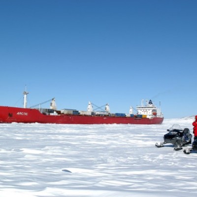
Field workers should come equipped with the appropriate clothing and footwear; depending on the conditions, this can range from thermal underwear to sun hats. In North American backcountry, it’s not unusual to work with a dog, to scare off the curious bears, and to be equipped with high-powered rifles in polar bear territory. During hunting season, other humans can be a risk as well, and a whistle is a light and useful survival item.
These days a GPS tracker is a great way for people back in the office to see where you are at all times on Google Earth. Essential communication devices include a satellite phone and a UHF radio in remote areas, as a mobile phone alone cannot be relied on.
Geological Mapping in the Field
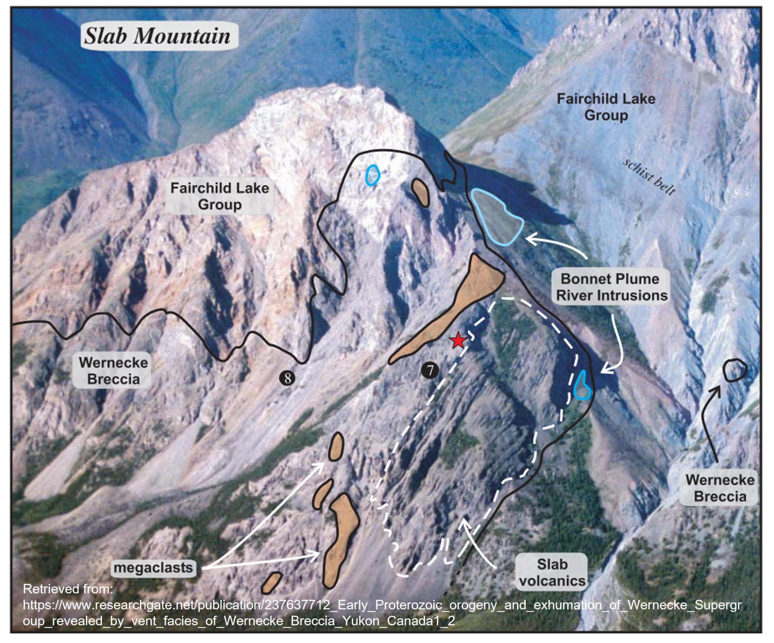
Geological mapping has come a long way since the days of hand drawing on a base map. These days, geological observations are entered directly into a GPS at each site. More detailed descriptions can go into a field note book. Back at camp the GPS tracks and waypoints are transferred from the GPS onto a portable computer. Mapping software is then used to interpret the extent of rock types in the area and key structural elements such as faults.
Alternatively, mapping can be done directly in the field with a tablet computer attached to a GPS. Using technology means that not only are more accurate maps produced in a shorter time, but that changes to the field program can be made on the fly, as the field geologist’s understanding of the area’s geology improves.
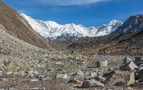
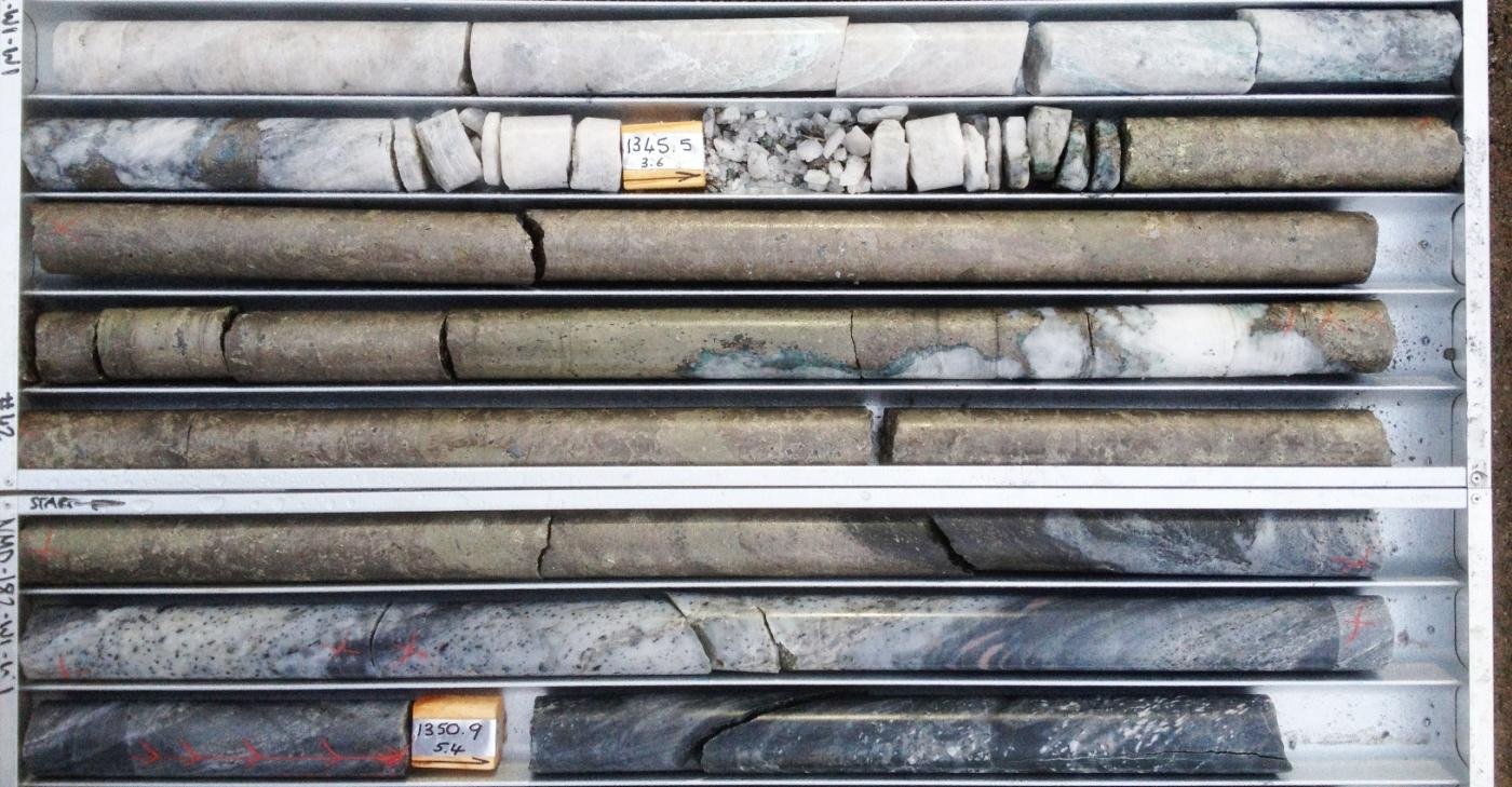
Rock Chip Sampling
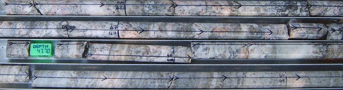
The collection of representative rock chips for geochemical analysis is a key task in any exploration program. Each sample should be around a kilogram in weight. Geologists are very good at identifying the most mineralised rocks. So investors should be wary. What might look like great numbers in an assay may not be representative of the mineral deposit as a whole.
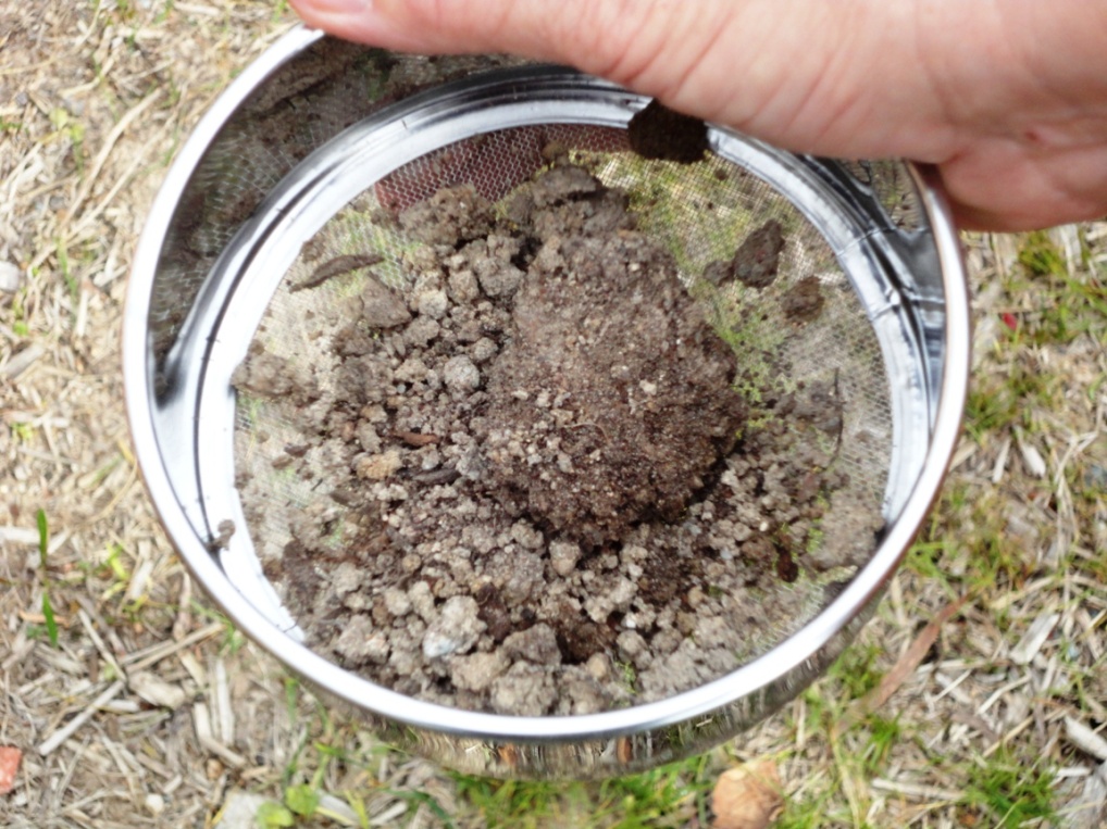
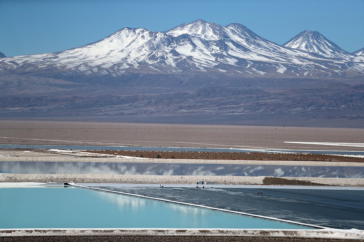
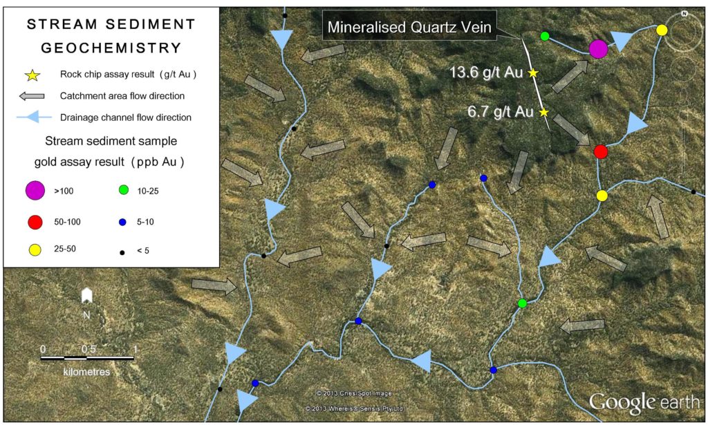
Stream Sediment Sampling
Sampling of stream sediment is a great way to cover large areas of land. The catchment areas of streams and their tributaries can be large. Over time, material from these catchment areas is washed into adjoining drainage channels where sediments accumulate. By sampling sediments at junctions and at regular intervals along streams, an overview of the geochemistry of drainage channels and adjacent catchment areas can be developed. About 4 kilograms of sediment is required at each site, which makes for a heavy backpack at the end of the day.
A well-executed field trip should result in the answers to the questions asked at the start. Fieldwork alone will not confirm the existence of an economic mineral deposit, but it may be the first step on the long road from prospect to operating mine.