Minerals eroded from ore bodies by glaciers can be transported hundreds of miles from their source. If one knows the direction of the ice flow that transported the minerals, then theoretically the source can be located by following the mineral trail.
The earth has gone through a great many cycles of warm and cold periods throughout geologic history. Much of the world has at one time or another been covered by a sheet of ice. During the last glaciation most of Canada and much of the northern US was covered by a sheet of ice that was as much as 2 miles thick. These huge ice sheets formed the landscape in many parts of the world leaving behind lakes, eroded bedrock and sediment.
“Till” is the term applied to sediment deposited by glaciers from the bedrock that they eroded and picked up along the way. Till can be recognized as a poorly sorted sediment made of mixed rocks types and of varying shapes and sizes ranging from large boulders to fine silt. The indiscriminate erosion and transport of sediments by glaciers can be useful for prospecting and mineral exploration since ore minerals are also transported by these processes.
Drift prospecting using till has been successfully used for many economic mineral deposit types including diamonds, copper, uranium and gold.
Exploration Using Glacial Till
Geological exploration in previously glaciated areas – especially in the far north – typically includes the use of till sampling to track prospective targets.
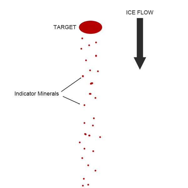
Minerals eroded from ore bodies by glaciers can be transported hundreds of miles from their source. If one knows the direction of the ice flow that transported the minerals, then theoretically the source can be located by following the mineral trail. The diagram to the right shows the simplest application of this concept.
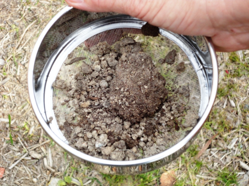
The indicator minerals can be anything that might indicate an up-ice target: On a larger scale “boulder trains” of uranium-rich rocks have been used to locate uranium ore bodies in the Athabasca Basin. Smaller scale indicators can include minerals like pyrope garnets and chromium diopsides which are sifted and sorted from fine till to search for diamond-bearing kimberlites in the Canadian Arctic.
The basic concept is simple enough, but there are a few complicating factors.
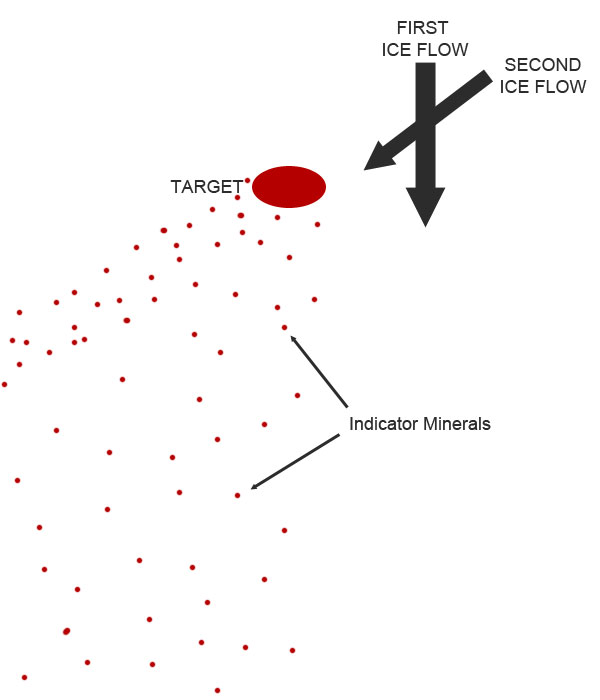
First, the successive directions of ice flow must be established and chronologically ordered. Thick bodies of ice behave more like a viscous liquid than a solid mass. They ebb and flow and change direction, so the direction established in one area might not be the same in another. Ice flows may also be overprinted by successive ice flows from different directions which can obscure a dispersal train. The diagram below indicates the result of ice flow from two directions. The original dispersal train is “smeared” into a fan-like pattern by the second ice flow event.
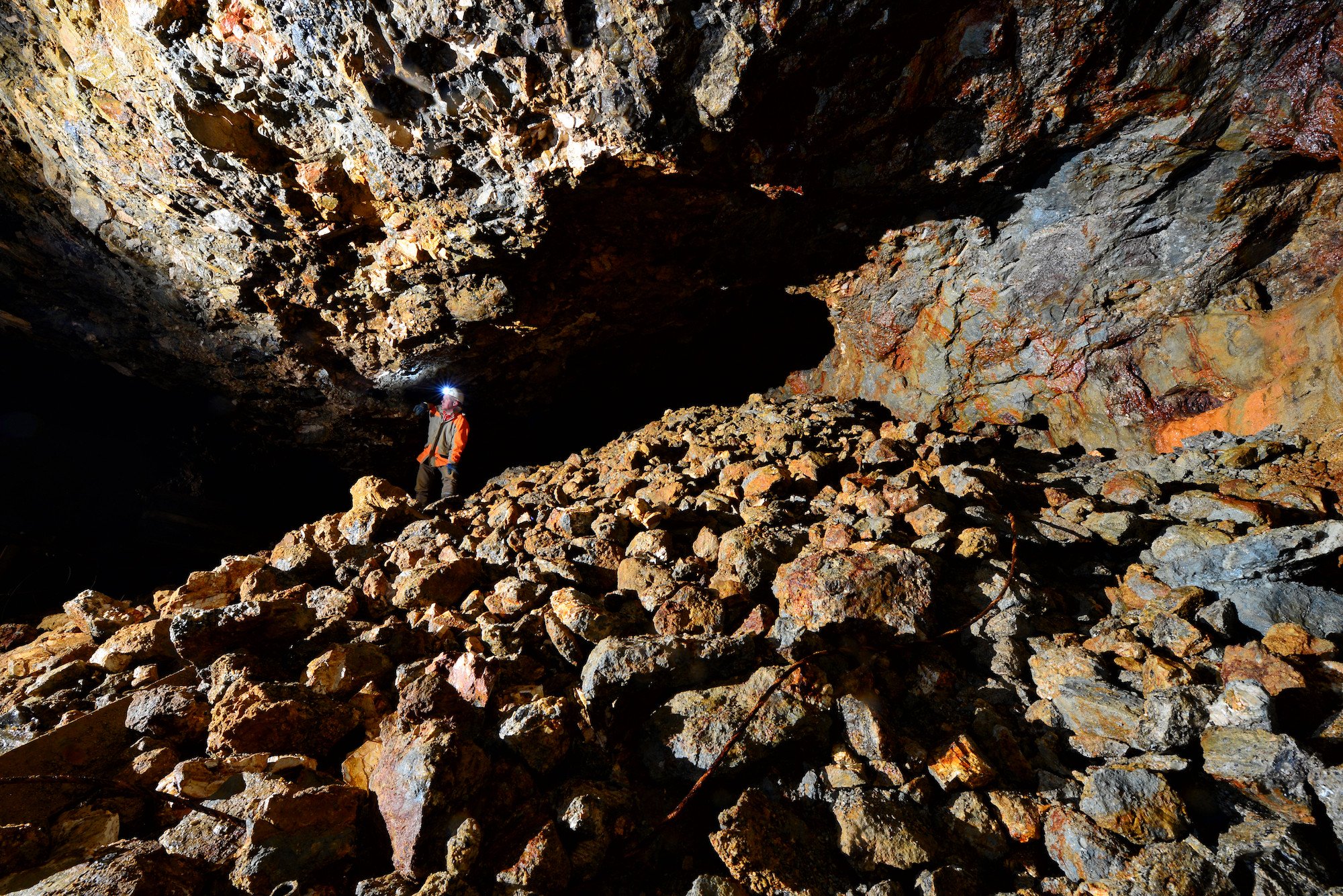
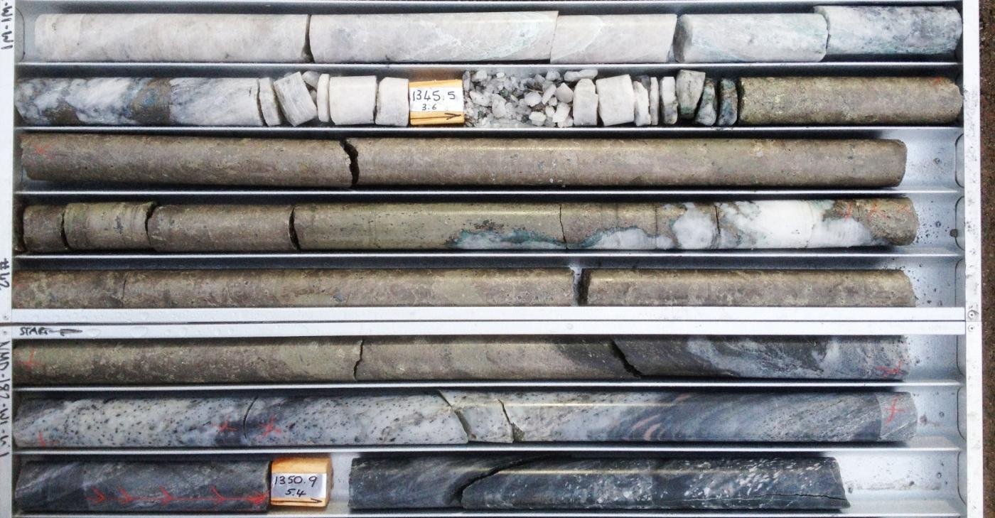
Till sampling programs are rarely used in isolation, but are instead part of a larger programme combining airborne geophysics, field mapping and rock chip sampling. Since indicator minerals make up a small fraction of the till, large samples are usually required across a large area. In remote regions such as the Canadian Arctic or where there is air access only, these programmes can be incredibly expensive since heavy sample bags may be required at each sample location. Hand augers or larger RC drilling equipment may be needed to access till depending on the location and the depth of the overlying sediments.
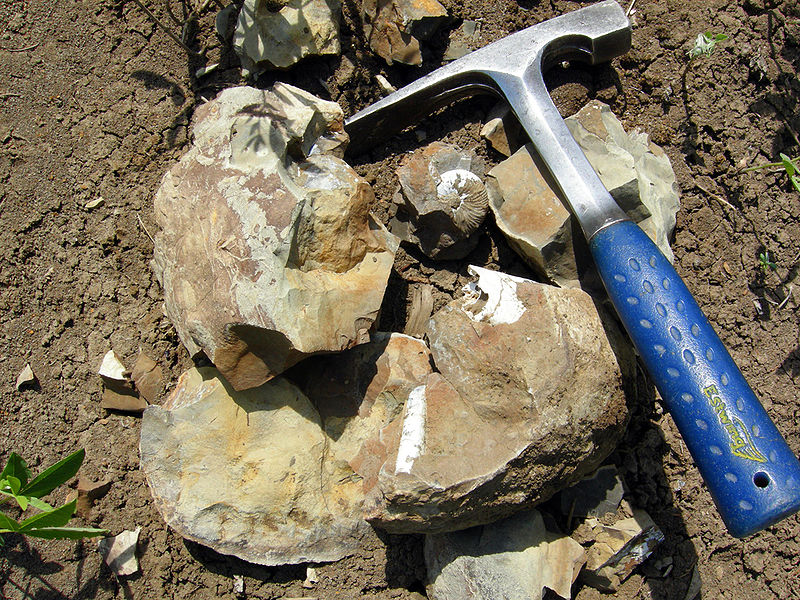
The requirements for processing and assaying of till samples varies depending on the sample and target. For boulder trains, simple geochemical assays like those used for rock chips or drill core will suffice. For fine grained till samples, a process of drying, sorting, separating and even microscopic analysis may be required before assay.
Ice Flow Indicators
In drift prospecting, knowing directions of ice flow is critical to success. Luckily for modern exploration geologists, the directions of ice flows are fairly well established in locations with important mineral resources. On a local scale, project geologists can use a variety of ice flow indicators to determine the glacial history of their project areas.
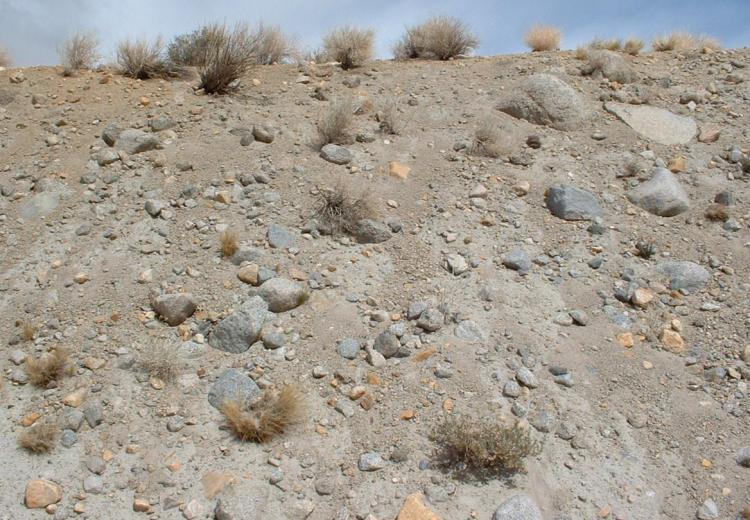
Many land forms can be attributed to ice flow and are easily recognizable to the trained eye. The satellite photo the above is a good example of how ice flow can shape the landscape. Satellite and air photos are often employed by geologists to gain a better understanding of the geologic history in an area.
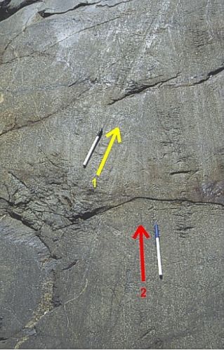
On an smaller scale, the scraping, scouring and other smaller scale features can be used on the ground to determine the direction of ice flow. For example, the photo below shows two sets of striations indicating ice flow from two directions. The striations on the left (yellow arrow) appear to truncate those on the right (red arrow), which tells us that those on the right are older. These types of features are used by field geologists to determine history of glaciation in an area.
Proceed with Caution
Although we’ve simplified the process in this article, a thorough understanding of glacial geology is required to successfully implement a drift prospecting program. One must be able to recognize glacial landforms, till characteristics, ice flow directions and account for the overprinting of successive glacial events.
More than one company has conducted a drift prospecting program but sampled surface sediments instead of till, miscalculated the direction of ice flow or misread the role of local glacial landforms. Expensive field programs can be rendered useless if the supervising geologist doesn’t have a true understanding of glacial geology or the field crew are improperly trained.
Further Reading
To learn more about this topic try some of these resources.
Prospector’s Guide to Drift Prospecting for Diamonds (Northern Ontario)
New frontiers for exploration in glaciated terrain (PDF)