Overview
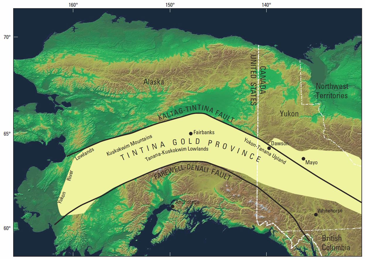
Stretching in an arc almost 2000 km long across Alaska and the Yukon is the rich Tintina Gold Province (TGP) where over 50 million ounces of lode gold resources have been defined in the last 20 years. The region is host to mostly gold deposits but also copper, lead, zinc, silver and tungsten. Operating mines include the Pogo and Fort Knox gold mines, and the Cantung tungsten mine. Exploration companies are currently active in the TGP with several promising developments surfacing in recent years.
Location
The TGP is a 150,000 square kilometre arc-shaped metal province stretching eastward across much of interior Alaska, USA, through the southeastern and central Yukon Territories of Canada and into northern British Columbia.
What’s in a name?
Although mining industry geologists tend to refer to it as the Tintina Gold Belt, most researchers are sticking to the term Tintina Gold Province since it is not really a distinct belt but is composed of numerous mineral districts of differing ages and characteristics. Both terms are commonly used.
The TGP landscape includes highlands, lowlands and coastal plains. The climate is subarctic with long, cold winters, areas of permafrost and short summers.
Although a major highway stretches across the length of the TGP, exploration is difficult due to few secondary roads. Navigable rivers, airports and lakes suitable for aircraft landing are also rare. Explorers are using remote sensing and airborne geophysical methods where conditions permit, and exploration teams often fly in by plane or helicopter.
A short history
The western part of the TPG was explored by Russian prospectors in the early 1800s. They discovered multiple small mercury- and antimony-bearing quartz vein systems.
Prospectors within North America headed up though the Rocky Mountains after the California gold rush in the 1840’s. After discoveries were made in Sitka and Juneau, Alaska, they spread into the interior, discovering gold in the Fortymile Country in 1886, the first gold discovery in what is now known as the Tintina Gold Province.
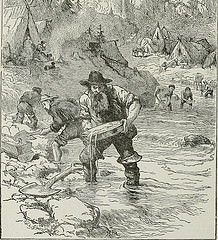
Placer gold fields were identified in the eastern TGP around the time of the Klondike (Yukon) gold rush in 1898 and around Fairbanks, Alaska in 1901. Placer deposits are buried river sediments where gold has been eroded from the original host rocks and redeposited elsewhere.
The placer deposits didn’t yield huge amounts of gold, and lode gold (mined directly from the original host rocks) production was limited to a few small, high-grade quartz vein systems, even into the mid-1990s.
During the mid-1980s to mid-1990s, low-grade Scheelite Dome, Dublin Gulch, and Clear Creek properties were evaluated but not mined. In 1996, the Fort Knox deposit, 20km north of Fairbanks, went into production, and the Brewery Creek deposit was mined between 1996-2002.
Geological history
Much of Alaska and adjacent areas in Canada is a jigsaw puzzle of packages of rock of similar age and type. These rock packages, known as terranes, are moved around by tectonic activity for several million years before they are eventually pushed up against or below each other.
In Alaska, the TGP is bounded to the north by the regional-scale Kaltag-Tintina fault system, and to 200 km the south by the Denali-Farewell fault system. Between these fault systems, the TGP can be divided into two distinct belts of pluton-related gold deposits; the older ~800km Tombstone belt in the east from Yukon into the Fairbanks area of Alaska, and the 550km Kuskokwim belt in the west of Alaska.
The TGP and its associated metal deposits are thought to have formed in a subduction-related arc, where compression forces one tectonic plate under another. The descending plate melts, releasing water and metals. These fluids are injected into the rocks of the overlying plate and form rich mineral deposits, such as the orogenic gold deposits of the TGP.
Mineral deposit formation
Major gold deposits in the TGP fall into two groups based mostly on age.
The older gold deposits, for example the Pogo and Fort Knox deposits near Fairbanks in Alaska, formed around 105 to 90 million years ago. These older deposits are found across east-central Alaska and into the Yukon. They are intrusion-related gold deposits formed where fluids sourced in the stage-by-stage melting of the lower plate are forced up into the rocks above, in this case they were trapped 3-9km deep.
The younger gold deposits in southwest Alaska formed later in the deformation of the area, at around 70 million years ago. These were also formed by the escaping fluids from the melting plate below but were trapped at a shallower depth, 1-2km of the surface.
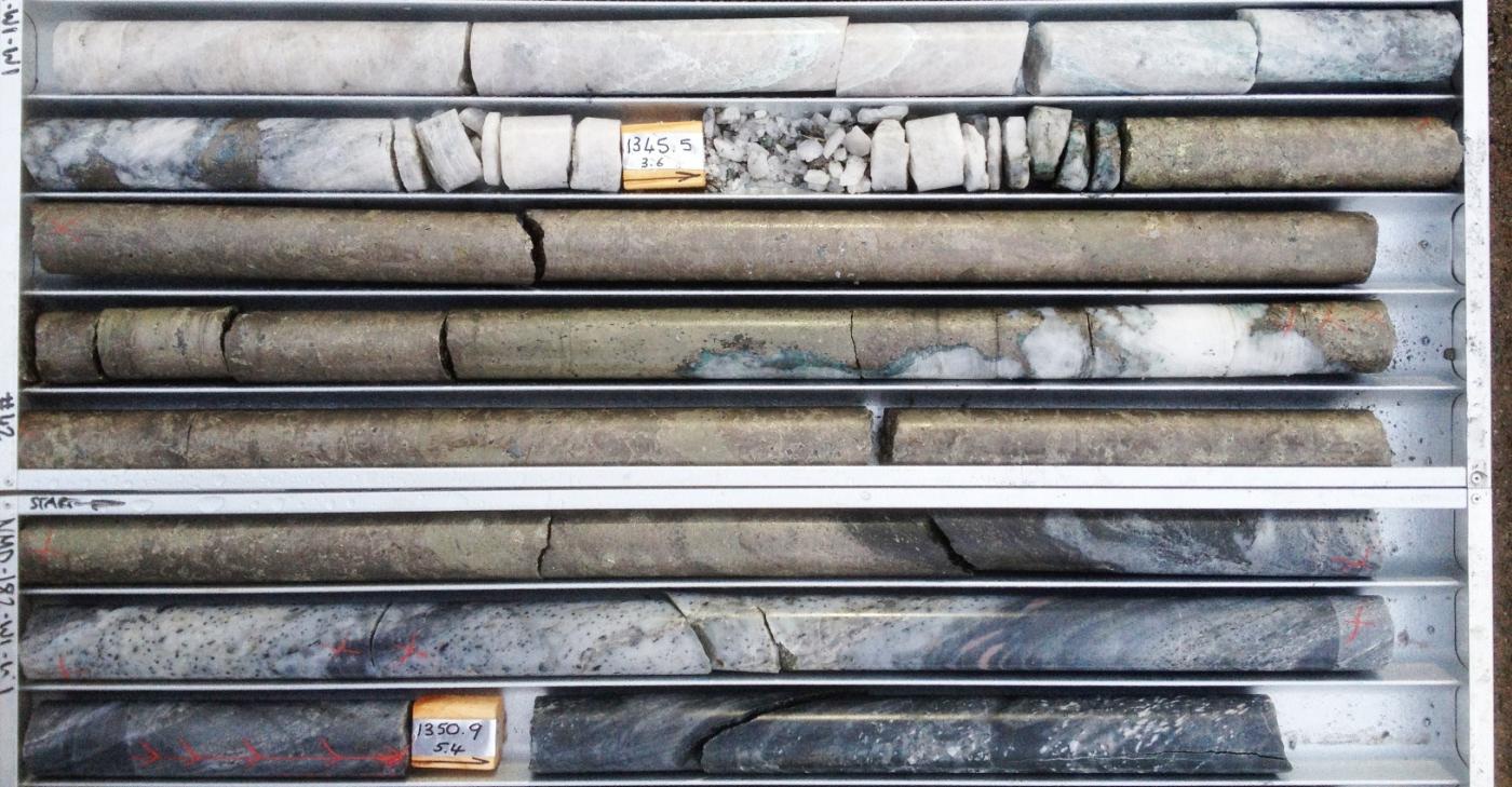
Important mines and projects in the TGP
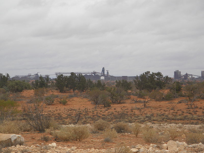
The Pogo underground gold mine, 145 km southeast of Fairbanks, Alaska, was discovered in 1994 and went into production in 2006. The mine is operated by the Sumitomo Metal Mining Pogo LLC and in 2012 Pogo produced approximately 315,000 troy ounces of gold and employed over 300 people.
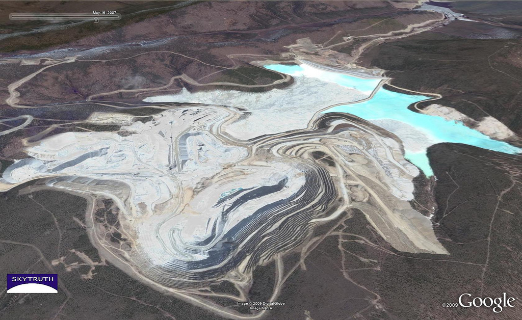
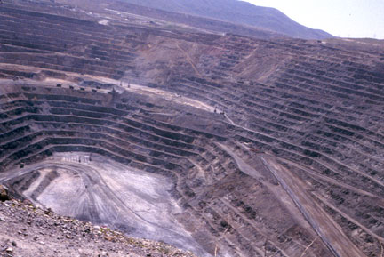
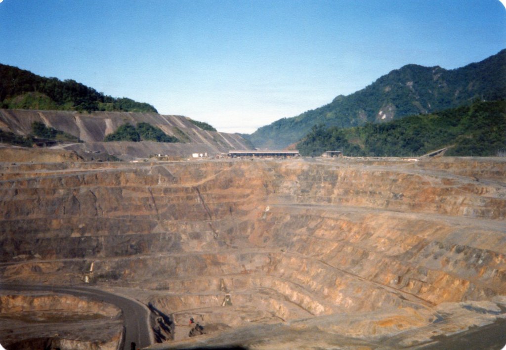
Also within the Fairbanks mining district is the Fort Knox open pit mine, owned by Kinross. The mine was originally permitted in 1994. It produced 421,641 oz. of gold in 2013 and employed almost 600 people.
The now-reclaimed True North open pit mine was put into production from 2001 to 2004. It produced 11.7 million tons of ore before the decision to cease mining was made in 2009.
Also reclaimed is the Brewery Creek mine located 55km east of Dawson City, Yukon. It was the largest lode gold mine ever constructed in the Yukon, producing approximately 280,000 oz of gold from 1996 to 2002 using heap leach operation. Additional exploration is ongoing at the site by Golden Predator.
Located close to the border between Canada’s NWT and Yukon is the Cantung underground tungsten mine. The mine has been operated by the North American Tungsten Corporation Ltd. on and off since 2001. The Cantung Mine is forecast to produce ore at a rate of approximately 383,000 tons per year until around March 2015.
Recent discoveries and promising projects
The Donlin Gold Project is an intrusion-related gold deposit in southwest Alaska, USA. It is currently in the late feasibility stage of development and is 50/50 owned by NovaGold (TSX:NG) and Barrick Gold (TSX:ABX). NovaGold is also advancing its Shotgun project, located in between Donlin Gold and Pebble, with similar mineralization to Donlin and impressive drill results in 2012.
Kaminak identified a new oxide gold zone during drilling on their Coffee Project in 2013. The project is in the White Gold District in the Yukon portion of the TGP.
Also in the Yukon side of the TGP, Comstock are getting promising results on their QV project, as are Victoria Gold on their Eagle Project, ATAC on their Rau property and Kinross’s White Gold property, among others.
Further reading
Geology and Origin of Epigenetic Lode Gold Deposits, Tintina Gold Province, Alaska and Yukon, USGS report
Major Gold Deposits and Belts of the North and South American Cordillera: Distribution, Tectonomagmatic Settings, and Metallogenic Considerations, Economic Geology Special Paper
Alaska Dept. of Natural Resources: Mining, Land & Water website
Yukon Geological Survey website